Transform Location Intelligence with Accurate

Global Geospatial Data.

  • Geospatial Data: Access location data for 164 million places, covering all mapping data needs.
  • Data Attributes: The geospatial dataset includes attributes associated with each location, such as latitude/longitude, geolevel, building type, geometry, and much more (totaling 50 attributes).
  • Data Solutions: We provide geospatial data to companies that focus on developing mapping and navigation tools, as well as those involved in transportation, urban development, spatial analysis, and more.
  • Global Reach: Our geospatial dataset covers 220+ countries.
  • Decades of Expertise: Backed by 30+ years of experience in curating and refining industry-leading datasets.
  • AI-Enhanced Precision: Advanced AI ensures deduplication, attribute enhancement, and robust data enrichment.
global-geospatial-data-example
global-geospatial-data-example-2
  • 164M+
    Locations
  • 360M+
    Businesses
  • 3200
    Business Categories
  • 220
    Countries and Territories

Intelligence Beyond Boundaries

Examples of Geospatial Data Usage.

1) Logistics Optimization for a Delivery Service
A logistics company leverages geospatial data to analyze delivery points across urban and rural areas. By integrating geolocation information with building footprint data, they optimize delivery routes, reduce transit times, and enhance fuel efficiency, leading to cost-effective operations.

2) Competitive Analysis for a Quick Service Restaurant
A fast-food chain utilizes geospatial data to map competitor locations and analyze customer movement patterns. This data provides insights into surrounding businesses  and high-traffic zones, enabling the company to adjust menus, pricing strategies, and marketing campaigns to gain a competitive edge in targeted regions.

3) City Planning by a Local Government
A city government relies on geospatial data to assess the distribution of public facilities like schools, hospitals, and businesses. By identifying gaps in service coverage, urban planners can make informed decisions about infrastructure investments, ensuring improved accessibility and resource allocation for local communities.
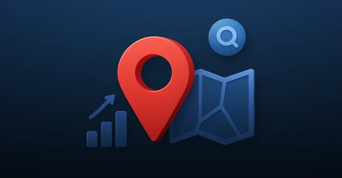
mapping

1) Real-time Real-Time Traffic Updates for Commuters
A navigation app leverages geospatial data combined with real-time traffic conditions to guide commuters along the most efficient routes. By integrating geolocation data with road incident reports and traffic flow patterns, the app helps reduce congestion and improves the accuracy of estimated travel times.

2) Traveler Assistance
A navigation tool utilizes geospatial data to help travelers discover nearby attractions, restaurants, and landmarks. By incorporating detailed geospatial layers, including building footprints and categorized points of interest, users can easily explore venues tailored to their specific interests and preferences.

3) Electric Vehicle (EV) Charging Station Finder
A navigation solution for EV drivers integrates geospatial data to locate the nearest charging stations. The tool provides critical information such as charging speeds, station availability, and user reviews, enhancing the charging experience and minimizing range anxiety for electric vehicle owners.

navigation

1) Retail Store Expansion for a Fashion Brand
A global fashion retailer leverages geospatial data to analyze potential store locations. By assessing nearby competitors, customer demographics, and foot traffic patterns, they identify high-revenue areas with strong market potential for new retail outlets.

2) Quick Service Restaurant (QSR) Franchise Placement
A QSR chain uses geospatial data to select optimal franchise locations near high-traffic areas such as shopping malls, schools, and major highways. Insights into surrounding businesses, competitor density, and local demographics help maximize location profitability.

3) Warehouse Location Selection for an E-Commerce Company
An e-commerce company relies on geospatial data to identify strategic warehouse locations near key transportation routes, population centers, and delivery hubs. By incorporating building footprints and precise geolocation data, they reduce shipping times and optimize operational efficiency.

site

1) E-Commerce Order Fulfillment
An online retailer leverages geospatial data for address validation, ensuring customer shipping addresses are accurate and deliverable. By correcting errors and verifying details, they reduce failed deliveries, minimize return costs, and enhance customer satisfaction.

2) Banking and Financial Services
A financial institution uses geospatial data for address validation during customer onboarding to meet regulatory compliance requirements like Know Your Business (KYB). This process helps reduce fraud risks, improves data accuracy, and streamlines account opening procedures.

3) Delivery Route Optimization for Couriers
A logistics company relies on geospatial data to validate delivery addresses before optimizing routes. Accurate location data reduces fuel consumption, saves time, and increases delivery success rates, leading to greater operational efficiency.

address

1) Disaster Risk Assessment
A government agency uses geospatial data to identify areas prone to flooding, earthquake fault lines, and zones at risk for wildfires. This information aids in strategic resource allocation, emergency response planning, and disaster mitigation efforts.

2) Public Health Campaigns
A healthcare organization utilizes geospatial data to monitor disease outbreaks and analyze vaccination coverage across different regions. This approach enables targeted medical interventions, efficient resource distribution, and data-driven public health education campaigns. 
3) Agricultural Land Optimization
An agribusiness uses geospatial data to evaluate soil quality, climate conditions, and water availability. By integrating this information, they enhance crop planning, improve land-use efficiency, and increase agricultural productivity while lowering operational costs.

CTA_bg_white2
Frequently asked questions
What is geospatial data?
Geospatial data is a set of information that describes the exact location, shape, and geolevel of physical features such as buildings, roads, or land areas. It can be delivered as a geospatial dataset (e.g., flat files or APIs) and includes both vector data (points, lines, polygons) and raster data (such as satellite imagery or heatmaps).

Companies and governments use geospatial data across a wide range of sectors: mapping, urban planning, logistics, environmental monitoring, retail site analysis, and more. For detailed, verified Points of Interest (POIs), explore our dedicated POI Data page.
How do businesses use geospatial data?

Businesses leverage geospatial data to enhance decision-making and optimize operations. Typical use cases include site selection, supply chain efficiency, market expansion strategies, geofencing, asset tracking, disaster preparedness, and targeted marketing. They also enrich customer experiences with advanced Places Data for search and discovery within apps and services.

What are the key attributes of geospatial data?

A robust geospatial dataset includes a variety of attributes, such as:
Geographic coordinates (latitude and longitude)
Spatial geometries (points, polygons, lines)
Building types, categories, and usage
Administrative boundaries and geolevels
Land use and zoning classifications
InfobelPRO’s geospatial data includes up to 50 customizable attributes, tailored for your business intelligence needs.

Can geospatial dataset be customized?

Yes — custom geospatial datasets are essential for businesses seeking precision. We offer filtering by country, region, city, POI category, building usage, and more. Whether you're analyzing customer density, planning new store locations, or modeling risk, our POI Data and Places Data provide the accuracy and flexibility required.

Which types of geospatial databases and technologies are available for my business?
Depending on your specific needs, several types of geospatial databases and technologies can support your business applications. We offer structured solutions such as:
GIS Database – for geographic mapping, spatial analysis, and planning
Spatial Database – for storing and querying geometries like points, lines, and polygons
Geocoding Database – to convert addresses into precise coordinates
Reverse Geocoding Database – to identify locations based on lat/long data
Each solution can be customized to your industry and geographic scope, and integrates seamlessly into existing GIS or BI systems.

Newest blogs.

View all read-more-arrow
best-b2b-data-providers-in-norway-in-2025-logo-and-full-list
6 Best B2B Data Providers in Norway in 2025
Norway's business landscape is rapidly evolving, with a strong emphasis on digital transformation and data-driven decision-making. As companies strive to...
read-more-arrow
8 Best B2B Data Providers in Australia in 2025
Australia continues to thrive as a dynamic hub for the B2B ecosystem, offering a wealth of opportunities for marketers, sales teams, and data-driven...
read-more-arrow
gdpr-compliance-b2b-data
Understanding GDPR: What It Means for Companies Working with B2B Data
GDPR Confuses (and Concerns) Businesses GDPR is often the subject of intense discussions, legal audits, compliance checks, and even business-wide operational...
read-more-arrow