1) Logistics route planning for a delivery service
A logistics company uses location intelligence data to map delivery points across urban and rural areas. By analyzing geospatial coordinates and building footprints, they optimize routes, reduce delivery times, and improve fuel efficiency.
2) Market positioning for a quick service restaurant
A fast-food chain leverages location intelligence data to map competitor locations and consumer foot traffic. This allows them to adjust menus, pricing, and promotional strategies to gain a competitive edge in specific regions.
3) Urban development planning for a local government
A local government uses location intelligence data to assess the distribution of public facilities like schools, hospitals, and parks. By identifying underserved areas, they can make informed decisions for infrastructure development and enhance resident access to essential services.


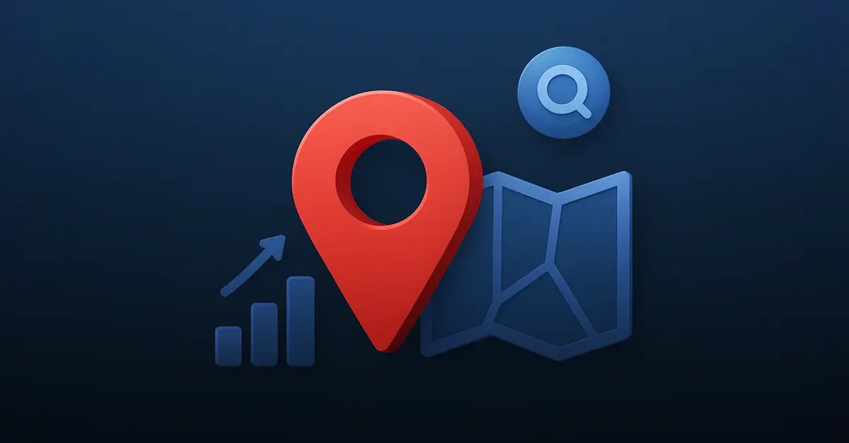
 Location intelligence data
involves utilizing geographic and spatial information to gain insights into patterns, behaviors, and trends associated with specific locations.
Location intelligence data
involves utilizing geographic and spatial information to gain insights into patterns, behaviors, and trends associated with specific locations.
.png?width=597&height=452&name=map_footprint%20(1).png)